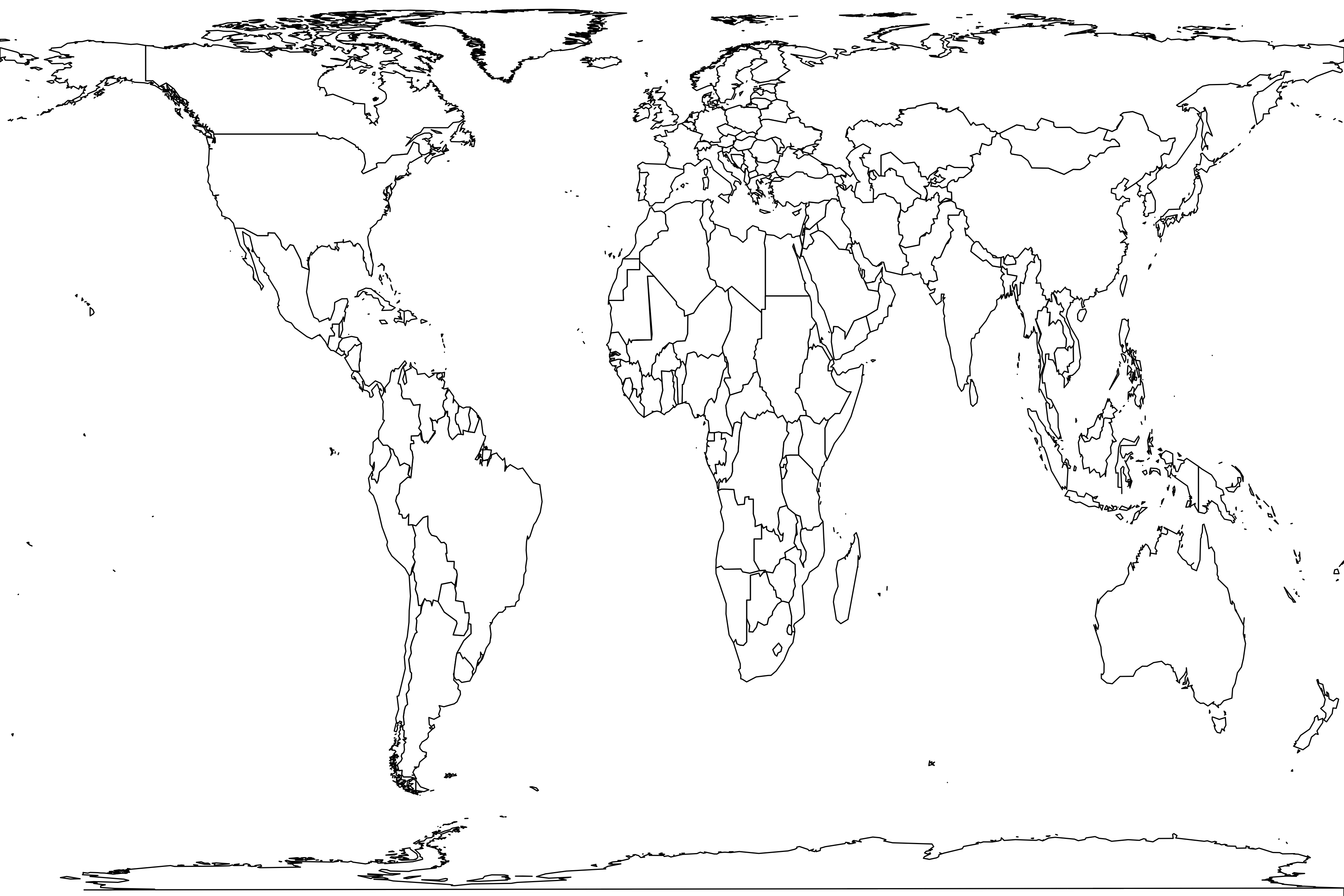
Picareiro Cave (Layer F)
Basic information
Sample name: Picareiro Cave (Layer F)
Reference: N. Bicho, J. Haws, and B. Hockett. 2006. Two sides of the same coin - rocks, bones and site function of Picareiro Cave, central Portugal. Journal of Anthropological Archaeology 25(4):485-499 [ER 3785]
Geography
Country: Portugal
Coordinate: 39° 31' 51" N, 8° 40' 27" W
Coordinate basis: based on nearby landmark
Time interval: Late Pleistocene
Section: 3785
Unit number: 5
Unit order: above to below
Max Ma: 0.01221
Min Ma: 0.01178
Age basis: radiocarbon (uncalibrated)
Geography comments: "Picareiro Cave is located near the city of Fâtima in Serra d’Aire, a limestone mountain range northeast of Lisbon and the Tagus estuary. The closest town, 2 km southwest of the cave, is Coväo do Coelho" (basis of coordinate).
Layer F has been radiocarbon dated from 12,210 ± 100 to 11,780 ± 90 BP.
Layer F has been radiocarbon dated from 12,210 ± 100 to 11,780 ± 90 BP.
Environment
Lithology: limestone
Taphonomic context: cave,human accumulation
Archaeology: hearths,stone tools
Habitat comments: "The sediment filling the cave is mostly éboulis, resulting from the chemical and physical erosion of the walls and ceiling of the cavity. The éboulis is characterized by a diversity of clast sizes and compaction, resulting in different interstitial spaces. The spaces among the limestone clasts are packed with fine silts and clays, of natural (eolic) and anthropogenic origins".
"The extraordinarily high number of rabbit bones and large hearths, as well as carcass butchery and high degree of fragmentation of large mammal limb elements, all indicate that the cave was repeatedly used as a short-term hunting/carcass processing camp".
"The extraordinarily high number of rabbit bones and large hearths, as well as carcass butchery and high degree of fragmentation of large mammal limb elements, all indicate that the cave was repeatedly used as a short-term hunting/carcass processing camp".
Methods
Life forms: ungulates,other small mammals
Sampling methods: quarry,screenwash
Sample size: 6874 specimens
Years: 1994 - 2001
Sampling comments: "Archaeological excavations started in 1994. The last year of the current field work was in 2001, after 37 m2 of excavation that reached a maximum depth of about 4.5 m. Excavations used a 1 m2 unit grid. Vertical control followed the geological layers, which were each subdivided into artificial 5 cm thick spits. All artifacts, bones and shells larger than 1 cm were 3D plotted. All sediment was screened through 6 mm and 1 mm mesh screens".
Metadata
Sample number: 4104
Contributor: Benjamin Carter
Enterer: Benjamin Carter
Created: 2023-02-24 11:01:00
Modified: 2023-05-30 05:03:19
Abundance distribution
4 species
1 singleton
total count 6874
geometric series index: 5.4
Fisher's α: 0.411
geometric series k: 0.0532
Hurlbert's PIE: 0.0647
Shannon's H: 0.1671
Good's u: 0.9999
Each square represents a species. Square sizes are proportional to counts.
• Find matching samples
Register
| Oryctolagus cuniculus | 6645 | 2.5 kg browser-grazer |
| Cervus elaphus | 161 | 142 kg browser-grazer |
| Sus scrofa | 67 | 54 kg herbivore |
| Rupicapra rupicapra | 1 | 27 kg browser-grazer |


