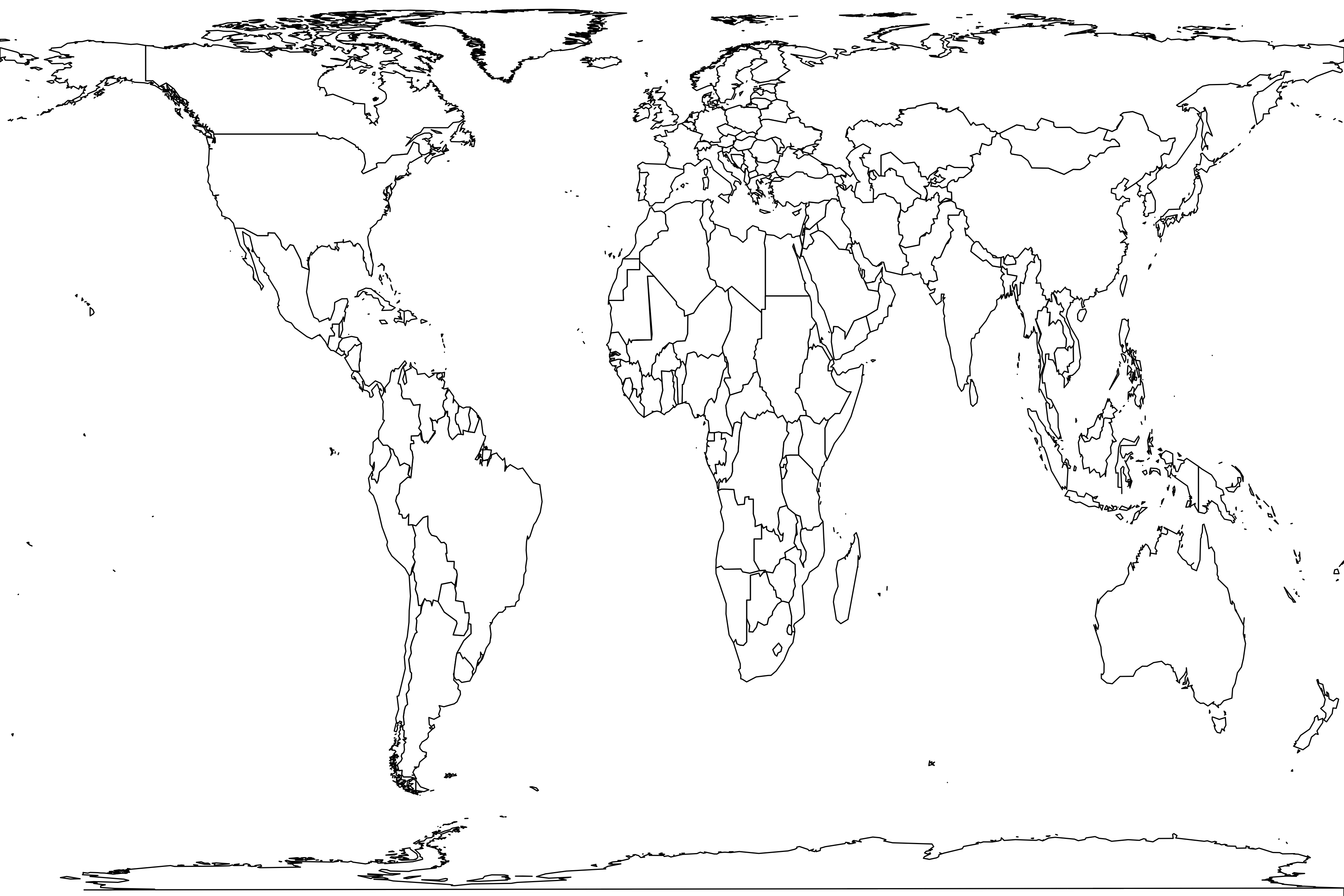
Jebel Hamrin Sud
Basic information
Sample name: Jebel Hamrin Sud
Reference: H. Thomas, S. Sen, and G. Ligabue. 1980. La faune Miocène de la Formation Agha Jari du Jebel Hamrin (Irak). Proceedings of the Koninklijke Nederlandse Akademie van Wetenschappen B 83(3):269-287 [ER 3880]
Geography
Country: Iraq
Coordinate: 34.41° N, 44.71° E
Coordinate basis: estimated from map
Formation: Agha Jari
Time interval: Late Miocene
Zone: MN10
Geography comments: "Late Vallesian (10-9 m.y.)" (i.e., MN10)
coordinate estimated based on Fig. 1, which shows the locality as about 30 km southeast of Injana (modern Anjana) and apparently about four km south of modern Sunaydij
coordinate estimated based on Fig. 1, which shows the locality as about 30 km southeast of Injana (modern Anjana) and apparently about four km south of modern Sunaydij
Environment
Lithology: conglomerate
Taphonomic context: fluvial deposit
Habitat comments: the fossils are from "un conglomérat polygénique gréseaux" that is cross-stratified and obliquely referred to as "fluviatile"
Methods
Life forms: carnivores,ungulates,birds,snakes,turtles,other reptiles
Sample size: 68 specimens
Years: 1978
Sampling comments: collection methods are not discussed, but this was a "une brève mission de reconnaissance", suggesting a surface collection
Metadata
Sample number: 4260
Contributor: John Alroy
Enterer: John Alroy
Created: 2023-04-30 21:12:25
Modified: 2023-04-30 11:12:25
Abundance distribution
21 species
9 singletons
total count 68
geometric series index: 53.5
Fisher's α: 10.393
geometric series k: 0.8609
Hurlbert's PIE: 0.8745
Shannon's H: 2.5623
Good's u: 0.8694
Each square represents a species. Square sizes are proportional to counts.
• Find matching samples
Register
| Struthio sp. | 2 | |
| Trionychidae indet. | 2 | |
| "Trionyx s.l." | ||
| Testudinidae indet. | 1 | |
| "Geochelone sp." | ||
| Pelomedusidae indet. | 2 | |
| questionably referred | ||
| Erycinae indet. | 1 | |
| questionably referred | ||
| Gavialis sp. | 4 | |
| Machairodus sp. | 1 | |
| questionably referred | ||
| Mustelidae indet. | 1 | |
| questionably referred | ||
| †Choerolophodon cf. pentelici | 5 | |
| Deinotheriidae indet. | 1 | |
| Deinotherium or Prodeinotherium | ||
| †Cremohipparion mediterraneum | 20 | |
| "Hipparion mediterraneum" | ||
| †Hippotherium cf. primigenium | 6 | |
| "Hipparion cf. primigenium" | ||
| †Brachypotherium cf. perimense | 1 | |
| †Palaeotragus coelophrys | 4 | |
| †Samotherium cf. boissieri | 3 | |
| †Bohlinia cf. attica | 1 | |
| Miotragocerus sp. | 6 | |
| †Prostrepsiceros aff. houtumschindleri | 2 | |
| †Gazella cf. deperdita | 1 | |
| †Gazella ? capricornis | 1 | |
| Ovibovini indet. | 3 | |


